Driving route Δ4 – Δ5
Duration: 5 – 6 hours by car
Total length: 110 km
The route combines asphalt and dirt roads thought of the National Park connecting local villages Kotronia and Giannouli with Dadia village (the starting point of your trip).
The route is recommended as driving one that needs a 4×4 vehicle. Hiking equipment and clothes are needed as well. Also it is recommended for your own safety to wear long pants, sunglasses, hat and a backpack with water.
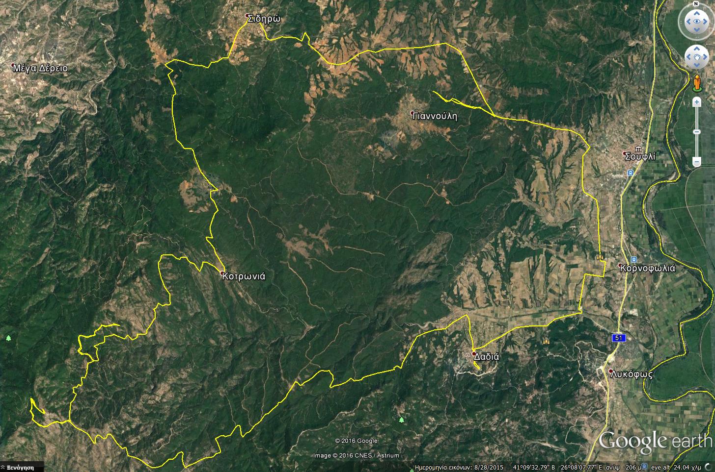
The proposed driving route crosses the heart of the National Park through unique and magnificent landscapes and viewpoints characteristic of the protected area and its rich biodiversity.
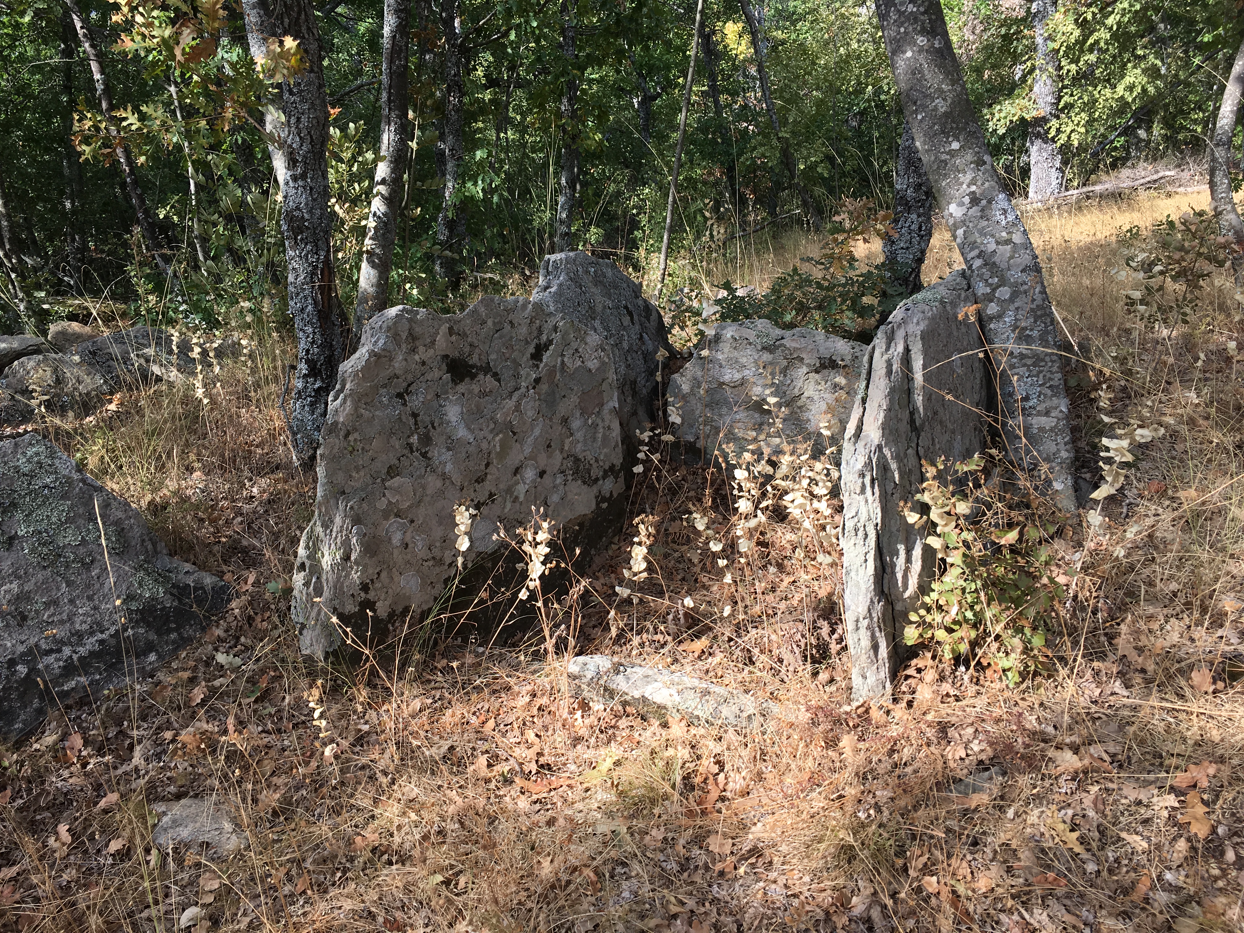
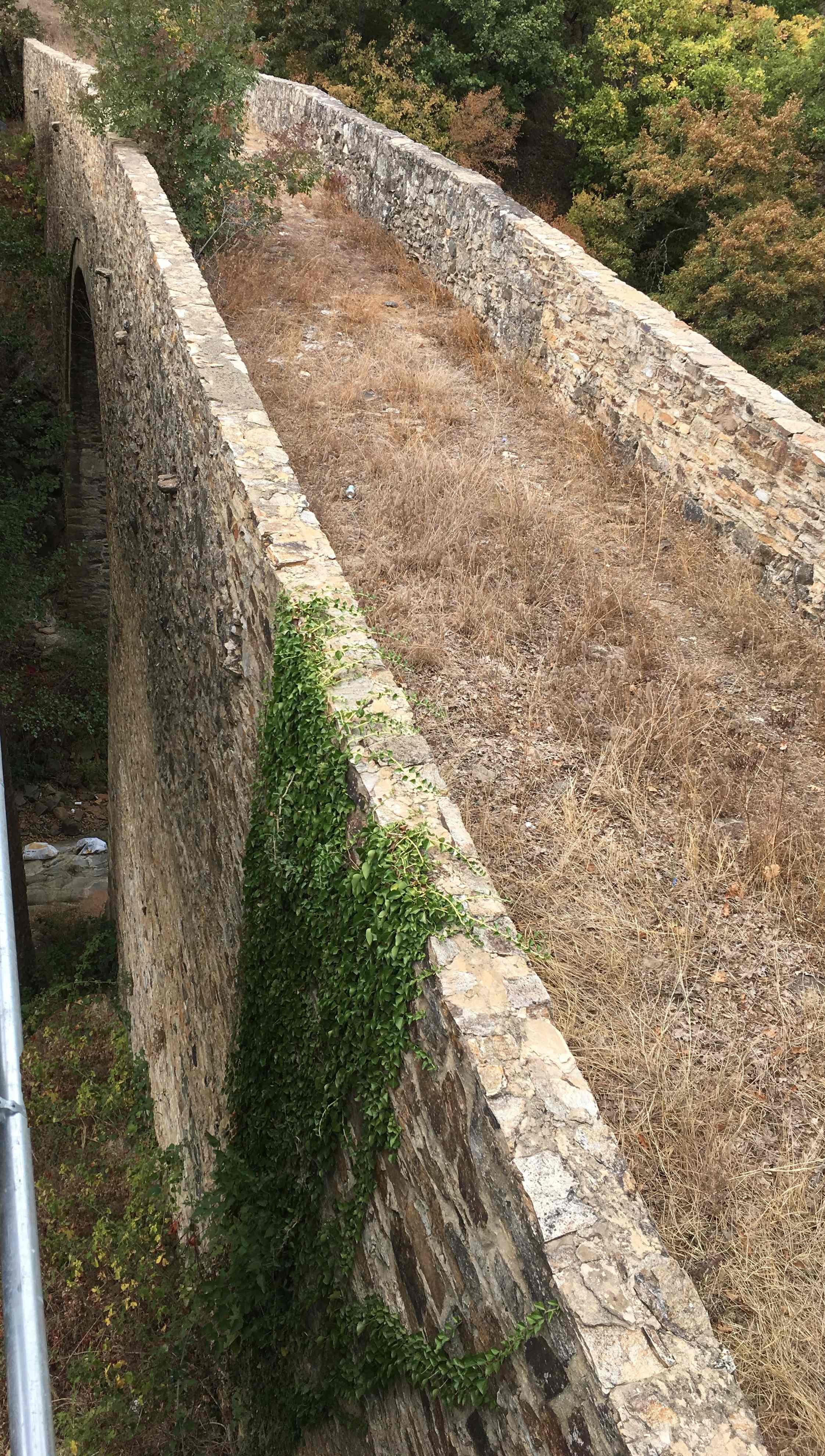
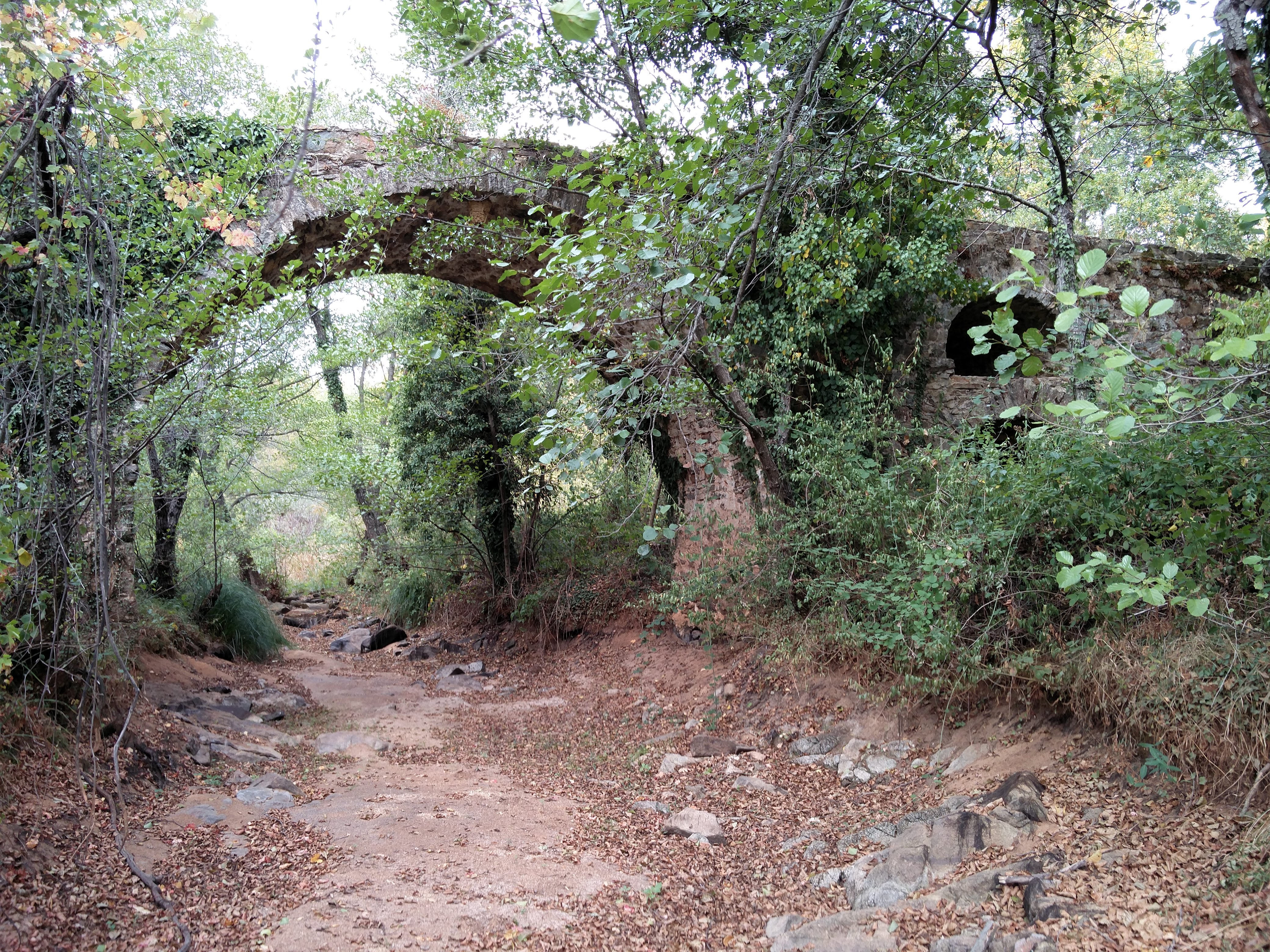
The visitor discovers the cultural, historical and archaeological legacy of central Evros prefecture having the chance to admire and learn about the megalithic monuments of the Kotronia area (Dolmen), the stone-built bridges of Sidiro and Giannouli villages and the picturesque monasteries in Kornofolia and Dadia village.
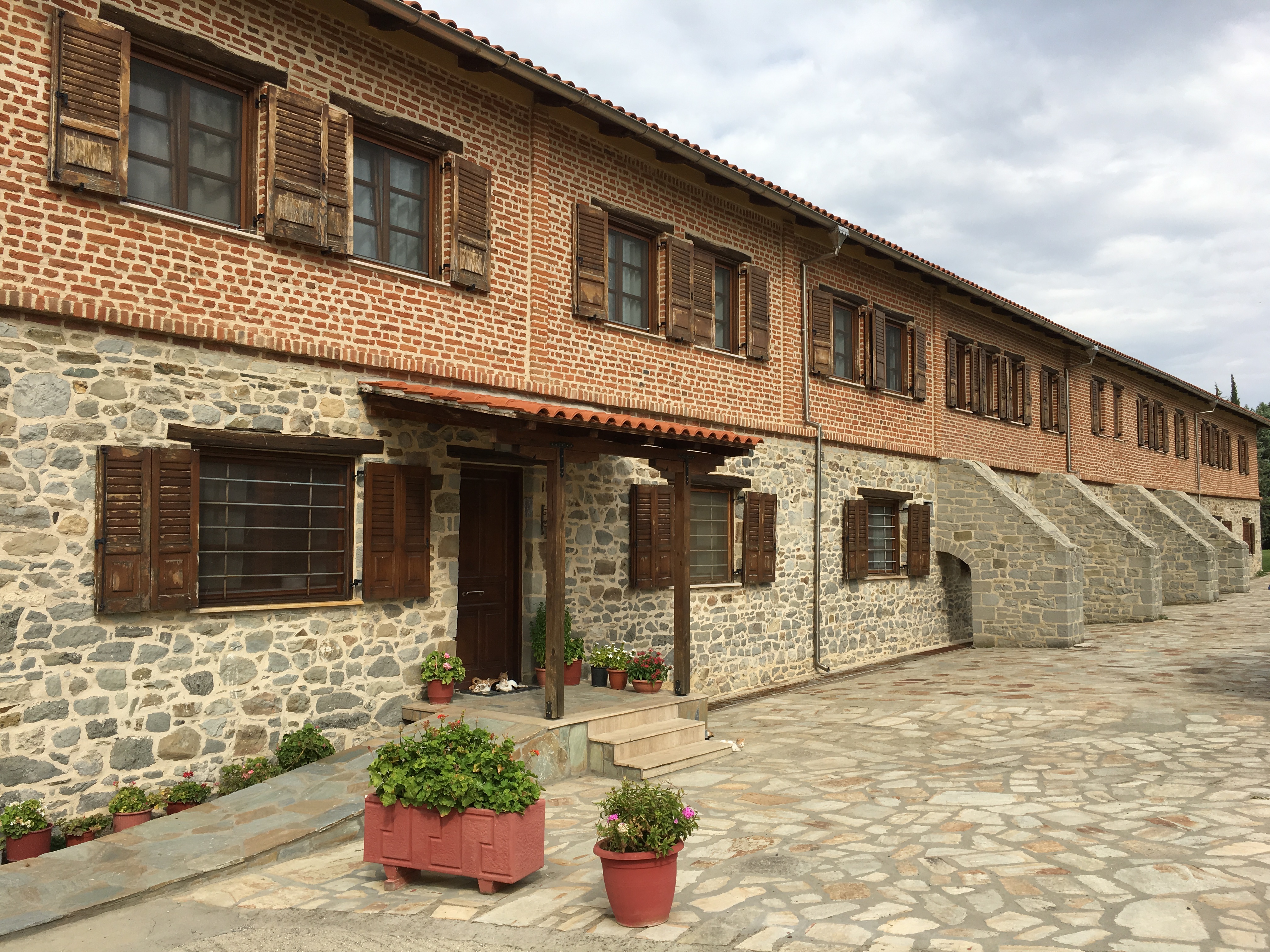
The starting point of our route is the Information Center of the National park in Dadia village operating by the Management Body.
Crossing the center of the village and heading to the North we find the crosspoint of Diavolorema stream, where we turn left in order to start driving to the proposed route. In this crosspoint visitors have the chance to stay for a while and observe the various kinds of small and larger birds that are flying around searching for food.
After 9 km driving we pass the Katrantzides recreation area.
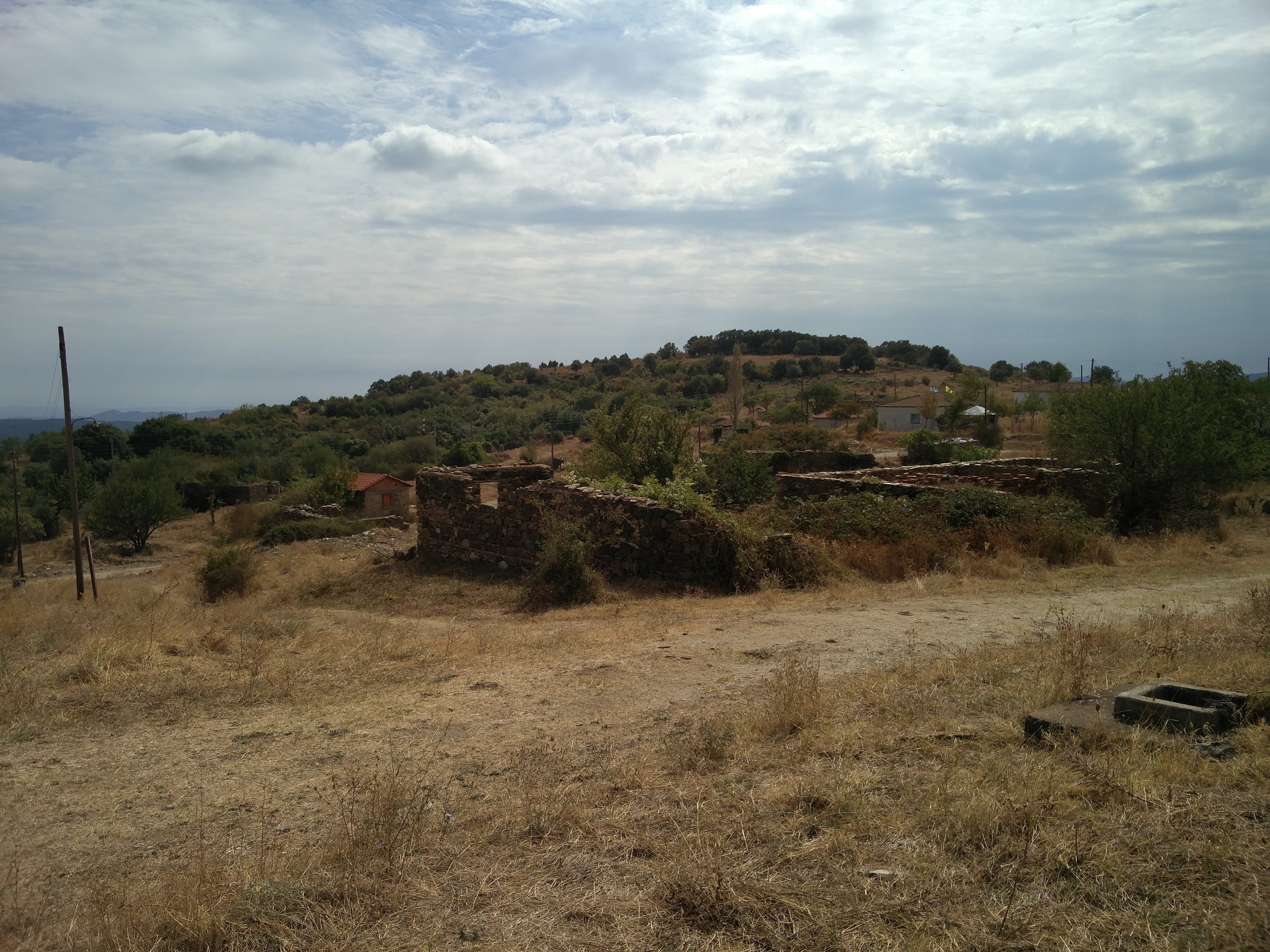
Next in our way is the Pessani area (ruins of a very old village) with its characteristic small stone-built bridge and unique landscape with large and old oak trees.
After Pessani area we drive to the right leaving the National Park behind and after driving through asphalt road we are heading to another important recreation area named “Treis Vrises”. Near this area we can find the Rogi peak where we have a panoramic view of a large forested area included the west side of the Dadia – Lefkimi – Soufli National Park.
Heading to the north the main dirt forest road leads us to Kotronia village. This village is in a plateau, so we have a panoramic view all around the area. Between the above mentioned two specific sites we can find another point of interest named “Petrotopos Kotronias” (Rocky place of Kotronia) known for its unique megalithic monuments (Dolmen) aged since early iron – era period.
Heading north again, following the main dirt forest road, through managed oak forests with many traditional springs, we arrive in Sidiro village.
From Sidiro village we follow the main asphalt road and passing near an old stone-built bridge, where we have to stop for a while in order to admire the architecture and the detail of the manufacturing of this construction, which once regulates the old gharries that shift in the area, we drive ourselves heading east to the next village named Giannouli.
Afterwards, we head to Soufli, the town with great history and tradition and wonderful Silk Museums where visitors can obtain information about the whole silk production cycle. Then, following the rural road leads to the beautiful and picturesque Monastery Portaitissa Kornofolia. Finally, through the rural roads, we return to the village of Dadia.